A Privileged Way of Thinking

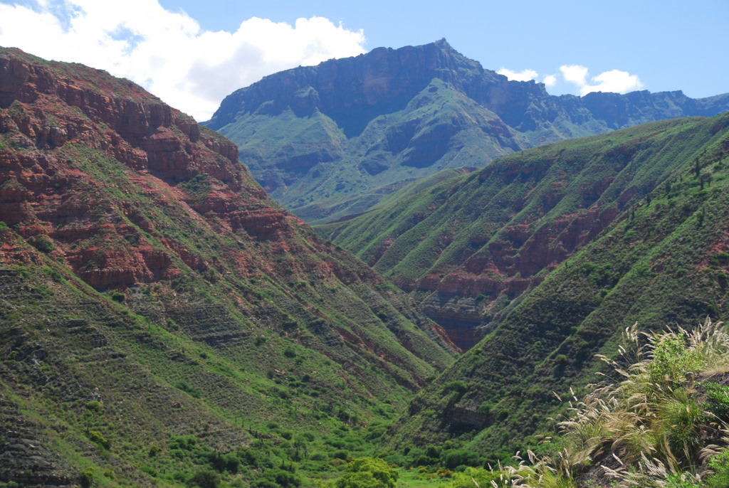
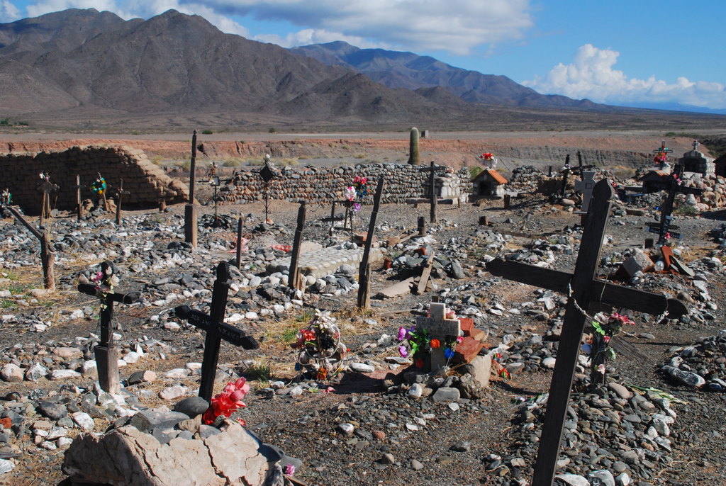
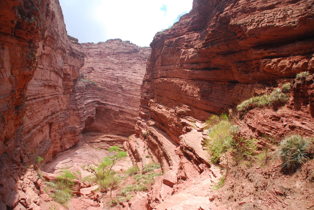
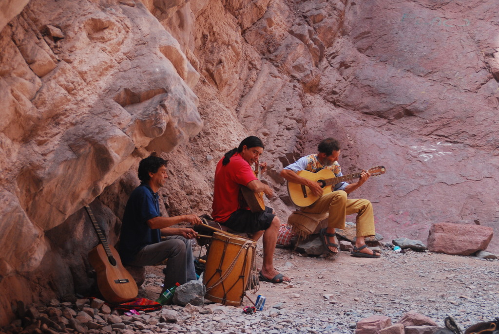
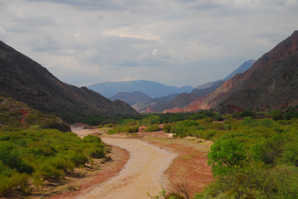
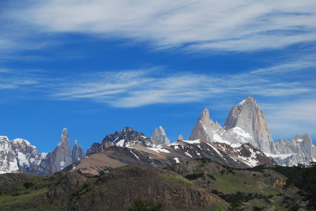
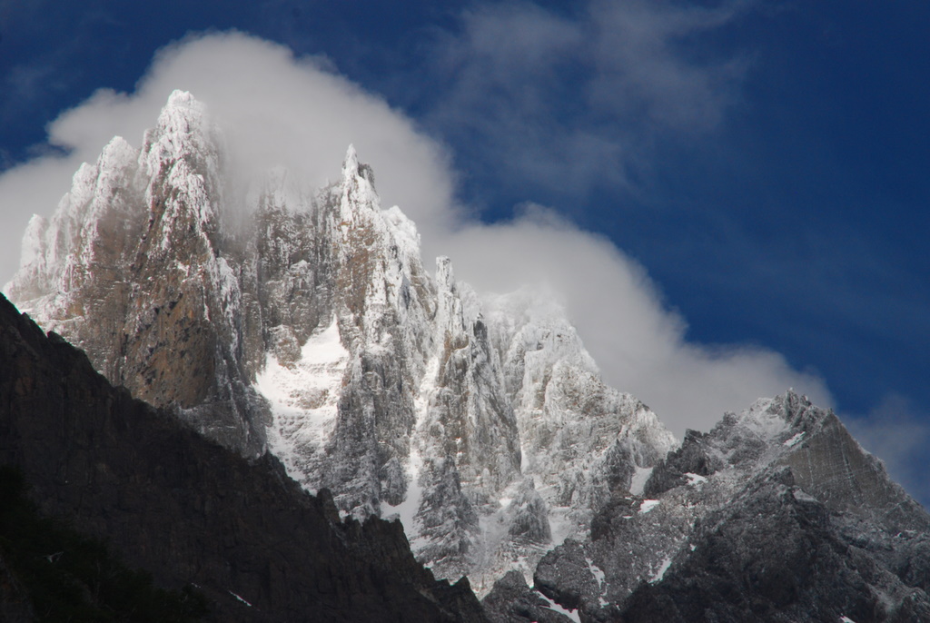
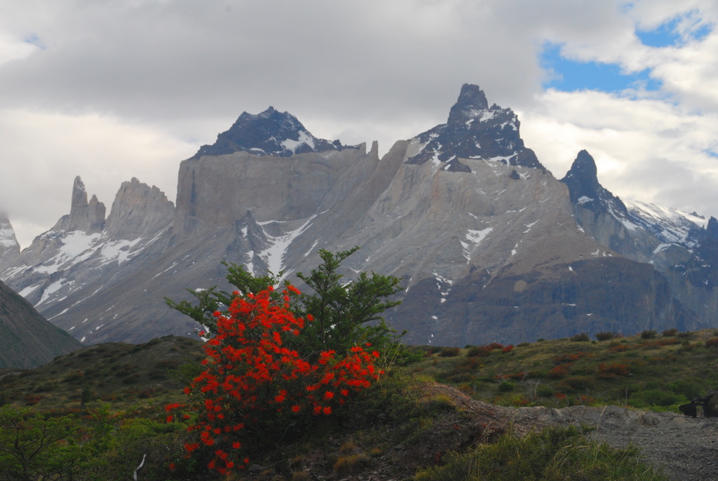
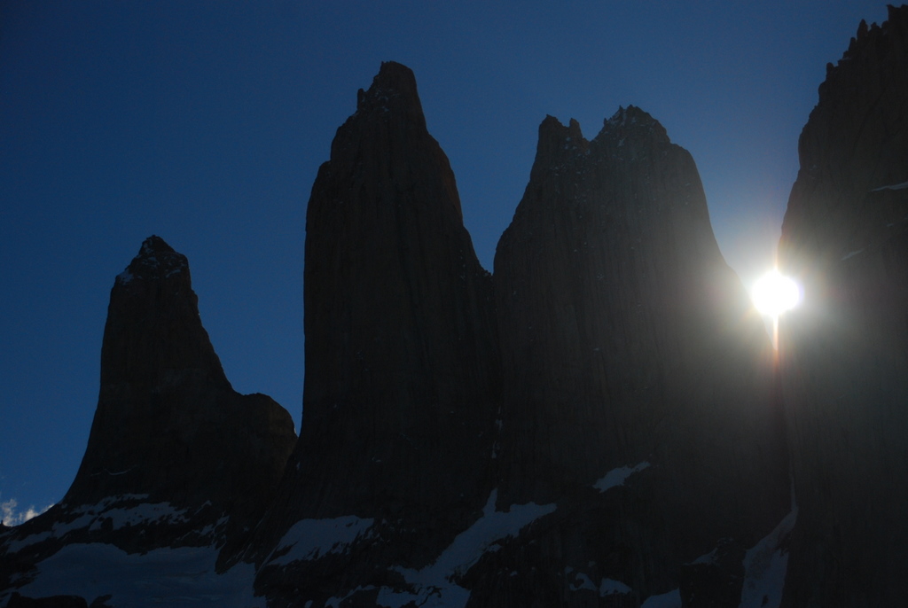
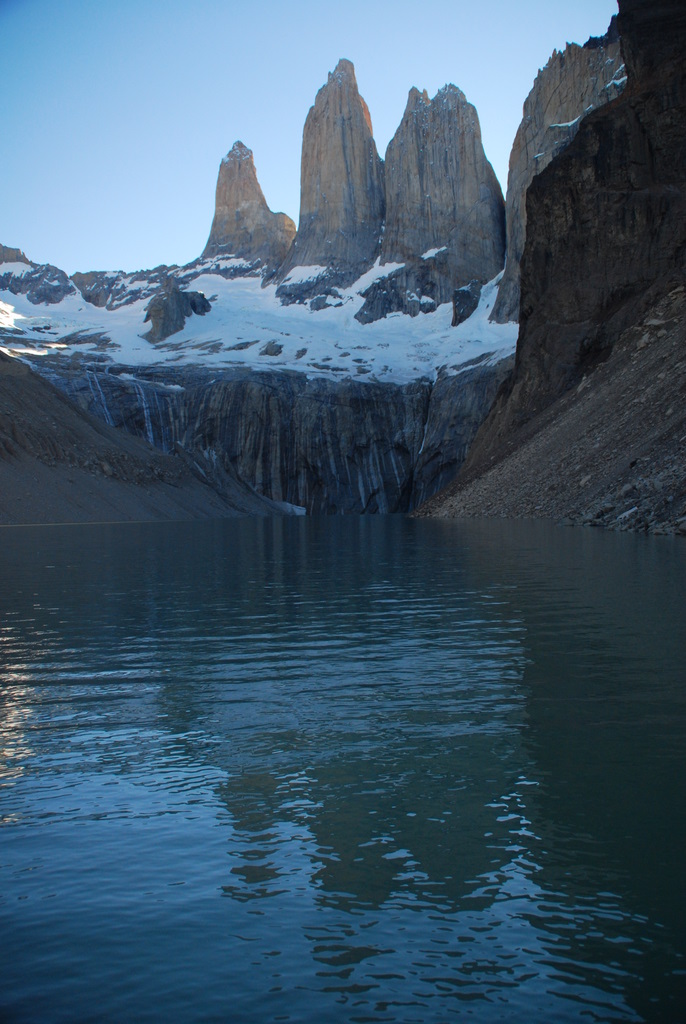
As we made our way around the Valles Calchaquies, from Salta to Cachi, Cachi to Cafayate, Cafayate back to Salta, most of what we seemed to see was the vast emptiness of a difficult but stunning landscape. There were a few small established towns, places with a market and a restaurant, running water and electricity, and in the larger ones maybe even a bank and a gas station. As we explored these larger towns, I’d find myself wondering what brought people here, why anyone would choose to try to settle in such a place. I imagine the majority of the people that live there now live there because their parents lived there and their grandparents before them. It’s home. But what about the first settlers?

What really struck me, however, wasn’t the towns. They were livable, certainly. Many were beautiful in their own way. They were the perfect spot, in fact, for people who prefer their independence, their space. What struck me most were the places between towns where people seemed to live. More frequently that I could have imagined, where I could see nothing but cacti and towering rock formations, people would hop off the bus, their bags of goods from town in hand. I’d try to watch them to see where they were going, but our bus would always zoom on before I could even spot the faintest outline of something I’d consider a destination.

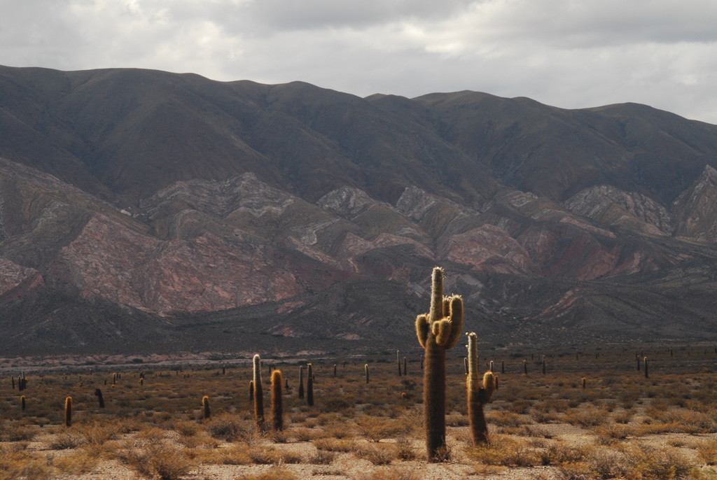
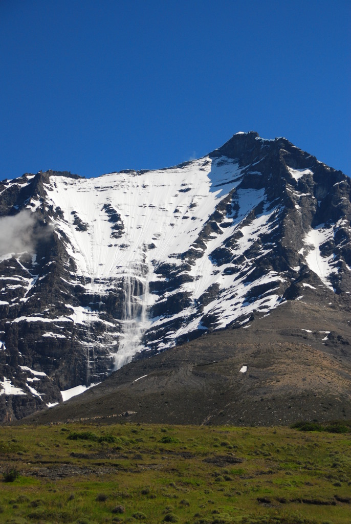
And as we bumped around the loop from Cachi to Cafayate on gravel roads hardly suitable for driving, I’d look out the window of the rental car we were riding in and see small houses near absolutely nothing. They were mainly straw and adobe huts, unfinished, absolutely basic. I’d marvel at them and then, without fail the first question my brain would form would be “What do these people do out here?”

As a resident of a highly developed nation, I have become practically programmed to expect that everyone “does” something. We are lawyers, accountants, doctors, writers, secretaries, bartenders, teachers, researchers, CEOs, plumbers, electricians, sales people. When travelers meet each other, within the early reaches of a conversation, the question of “What do you do?” almost always comes up. It is how we define ourselves and understand others.

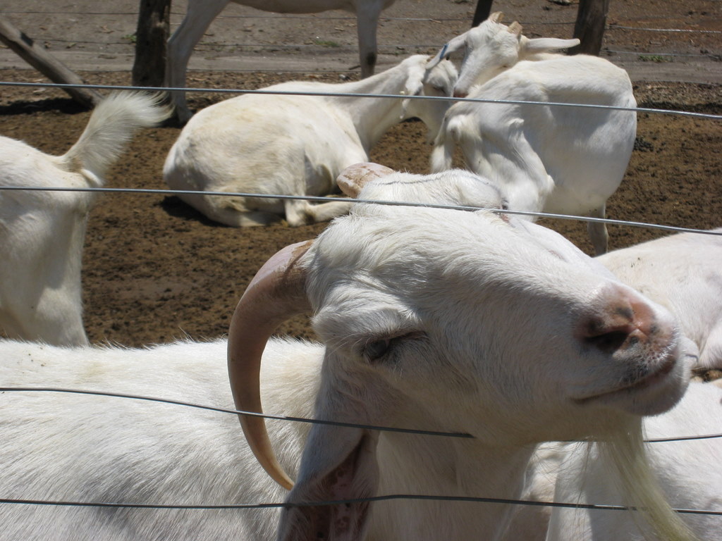
But for many people in the world the luxury of “doing” something doesn’t exist. They don’t live in a world that tells them they can be anything they want to be, that they can do anything they put their mind to. Instead what they “do” is survive. They plant crops and tend crops and harvest crops, in the hopes that they have enough to feed their families. They maintain their homes, trying literally to keep a roof over their heads. They tend to livestock. They mind their children. They are often farmer, teacher, construction worker, doctor, and firefighter all in one. But if you asked them what they do, they’d look at you like you’re an alien. What do they do? They live, the best way they know how.

The American Southwest Meets Sonoma in Argentina

I’m not 100% sure what most people think when they think of Argentina—perhaps its the European style of Buenos Aires, the sizzle of tango, the melt-in-your-mouth taste of steak, the wilds of Patagonia, or the gauchos of the pampas—but I’m pretty sure it’s probably not cacti. In northern Argentina, however, that’s exactly what you’ll find: huge cacti and marvelous rock formations. And oh yeah, vineyards too.

Lying west and south of the major city of Salta, the Valles Calchaquies is a collection of towns (mainly tiny) at approximately the altitude of Denver in a landscape that looks like that of the American southwest. A road circuits through the towns, providing a splendid diversion for a couple of days.

We left Salta Tuesday morning on a bus that reminded us that as we move north we’re leaving behind the luxury of highly developed Chile and Argentina for the more basic offerings of the rest of South America. After stopping for about every single person on the side of the road as well as some bananas and a watermelon, we made it through the seemingly never ending suburbs of Salta and began to wind and wind and wind and climb and climb and climb our way through the Cuesta del Obsipo and the Parque Nacional Los Cardones. The narrow gravel road weaved through valleys surrounded by imposing scrubby cliffs.

Upon reaching altitude, the road leveled out and we revved our way through a sandy desertscape of giant cacti.

After 5.5 hours on this luxury liner, we pulled into the town of Cachi, which, though one of the largest towns in the Valles Calchaquies, is nothing more than a central plaza and about a block on each side. We set ourselves up in the hostel and then covered the town from side to side, end to end. This wasn’t our biggest accomplishment, however. No, our biggest accomplishment was securing a ride for the next day. Though we’d come on bus to Cachi, we weren’t going to be able to rely on the bus to get all the way around the loop. For some strange reason, 39 km of the loop isn’t accessible by public transportation. If you want to cover that stretch, you have two choices: walk or hitch. We chose hitch, but not the standing on the side of the road, thumb in the wind type of hitching. We chose instead the ask the other travelers if they have a car and want to give you a ride type of hitching. We got lucky and the first people we asked, a British couple, offered to take us not just the 39 km not covered by bus, but all the way around to the other main town, Cafayate. Great success!

Before hopping in the car with our new friends, we made a morning visit to the local church and then trekked up to the hilltop cemetery, which looked like something straight from the wild, wild west.

The spectacular scenery continued as we began our bumpy ride around the loop. Huge red rock formations jutted up from the ground, a couple of prairie dogs played roadside, and a few tiny, tiny towns existed seemingly in the middle of nowhere. We stopped time after time to take photos, never quite capturing the magnificence of it all.

A welcome stretch of paved road led us into Cafayate, which seemed like a big city thanks to the fact that it had a few blocks in each direction from the plaza. It’s also an important city, as it is, after Mendoza, the second largest wine producing region in Argentina. And so, after surviving a torrential nighttime rainstorm that turned the roads into rivers, we took advantage of the sunny day and the many nearby wineries to sample the local goods. The specialty of this area is not the malbecs and cabernet sauvignons that most people associate with Argentina, but a dry white wine called torrontes. It’s actually quite good, and that’s coming from a red wine devotee. Visits to three wineries plus a goat cheese farm (because what goes better with wine than cheese?) filled our day.

On our final day in the Valles Calchaquies, we hopped an afternoon bus, and then after 46 km asked the driver to drop us off in the seeming middle of nowhere. He obliged, and we spent the next five hours getting up close and personal with the wacky rock formations, including named ones such as the amphitheatre and the devil’s throat.

We managed to successfully hail down the evening bus and then spent the next few hours rocking and rolling back to Salta on a bus that seemed to have no shocks or struts. It was a treat I tell you, but not as much as the delicious steak dinner we had to cap off the night.

The Valles Calchaquies certainly might not be archetypical Argentina, but both Jeff and I agree that it currently holds the title for our favorite part of Argentina. Once we return in March for Buenos Aires, Iguazu Falls, and Mendoza—probably the most popular areas of this country—we’ll let you know if the title still holds.

Children of the Mountain

We’ve seen the mummies in Egypt. They’re in a small room at the Museum of Antiquities in Cairo, and as it costs extra, we found ourselves bribing the guard to allow use of our student cards to enter. Inside a small room are a world renouned collection of mummies in incredible condition, preserved for thousands of years.

Those mummies may as well have been skeletons compared to what is at the MAAM museum in Salta. The story goes back 500 years (yes, the Egyptian mummies are much much older), from the Inca’s just before the arrival of the Spaniards. They are the “Children given to the mountain” and as we understand it, are sacrifices to the Gods. The children were of very high social status and were honored to be chosen. They were found in ruins at about 6700 meters (about 20,000 feet), and due to this altitude there was no bacteria, little oxygen and such cold temperatures that they did not decompose. They were naturally mummified.

The one we saw (there’s only one on display in the museum at any time) was so exquisitely preserved that we found ourselves waiting for her eyes to open. She still had normal musculature beneath her dark skin and hair. Her clothing and adornments looked as if they had been bought out of the craft market a week ago. She looked like any one of us, and you couldn’t shake the eerie feeling that she might wake up at any time.

Now, as you may be imagining by this point, this is all quite controversial. I mean, in effect they’ve desecrated a Native American burial site, taken the bodies away to a city, studied in and displayed it for a fee. In one of the interviews we saw in the museum (who does an admirable job of presenting both sides of the controversy), an indigeous woman from the area said the children ‘are sleeping’ on the mountain as a gift to the mountain to protect them and provide them with good harvest, as if they are (or at least were) still doing their job.

You can read more about the museum, the mummies, the extraction and the controversy here, and make up your own mind. For myself, it’s something I’ve been thinking a lot about since going. I went in without too much knowledge of what was there, came out amazed and awestruck, but the more I think about it the more it bothers me. I’m glad I was able to see it because the children are truly amazing and the museum is very well done. But I wouldn’t support it if they meant to dig the site up now and don’t think it was worth disrupting in order to show the world. While they had lots of information about the expidition to study this site, what I never learned in the museum is why they decided to extract this site in the first place or whether they knew there were bodies there. Who decided they wanted to remove these? Why? What was the locals response at the time? I feel like there is much more to know.

These kinds of activities (pillaging and studying of ruins and historical sites) has gone on for millenia, but that certainly doesn’t make them right or respectful. But on the other hand, it appears to have been organized by the local government and for the local people, so at least the children haven’t ended up in the British Museum (just as one example). It’s always a particularly difficult question, how to preserve history. Especially when its not your own.

Scheme #2

When Theresa was studying in Germany, the first place she took me when I came to visit was to the doner stand. Somewhat like a gyro, but with a little more bread and a different sauce, the donor is the fast food of Germany, having taken on new life from its Turkish origins. And it is oh so delicious. But why do I bother to inform you on the fast food habits of the Germans? Because we found a doner stand in Cordoba, called Mega Doner.

Theresa attested to its relative authenticity (as real as one can expect 5000 miles and a hemisphere away) by demanding we go back a second time, and on that visit we saw the signs selling Mega Doner franchises to expand into other areas of South America. There are currently three in Cordoba and they are looking to expand. This was the germination of Scheme #2. Buy a Mega Doner franchise and locate it somewhere in Chile or Argentina. It’s brilliant! As Mega Doner’s own website says, it requires no cook or training, has no direct market competition, and is delicious.

We haven’t figured out the where part yet, because we need to find a good market of students mixed with an enjoyable city. We are currently in Salta, and while lovely, I don’t think it has the youth we’re looking for. Mendoza would be a fine choice but I don’t know if we could compete with the wine bodegas. And of course there’s Buenos Aires or Santiago.

Our other problem would be our own inability to keep ourselves from literaly eating our profit. The only growth may well be found in our bellies.

A Wildlife Bonanza on Peninsula Valdes

Maybe you’ve seen one of the nature program specials that show orca whales literally beaching themselves in order to feast on seals. It’s pretty freaking cool. Well, at least it looks that way on television. Though we recently visited Peninsula Valdes, where this survival of the fittest feat plays out, we didn’t see it. First of all, it’s not the right season. And second of all, you have to have the patience of a saint…or a Planet Earth videographer…to actually witness it as it doesn’t happen all that often.

But before you feel too sad for us (sob, sob, I know), let me just show you a few photos of what we did see on our day on Peninsula Valdes.

While on a large zodiac boat, we had a close encounter with two southern right whales, a mother and her baby. These majestic animals, which come to Peninsula Valdes to breed and give birth, were in their very last days in the area, as they are setting off any day now for the feeding grounds of Antarctica. These two whales hung out with our boat for nearly an hour, gradually getting closer and closer until they were practically right beside us. At 16 meters, the mother whale was larger than our boat. The baby, drinking 200 liters of milk each day, was well on its way to catching up. Though I’ve seen whales in the wild before, this was the closest I’d ever been, and I couldn’t help but ooh and aah every time they surfaced, which was approximately every 2-3 minutes.

While whale watching, we also saw a large colony of sea lions, who all seemed to prefer this one rock, though there were others nearby. We also spotted four bottlenose dolphins, which were hanging out with the whales.

The day involved a lot of driving on really bad roads as we hit wildlife hangout after wildlife hangout. Luckily the driving was made less boring by several wildlife spottings along the way, including a fox, some crazy rabbit thing, guanacos, and this father rhea and his baby. Actually, there were about 14 other babies with him. Apparently male rheas care for their offspring instead of the mothers, and not only do they care for their own, they also actively try to acquire others to care for by fighting other fathers and then stealing their chicks. Weird, huh?

The elephant seals proved a bit of a disappointment, as we didn’t see any with extremely prominent noses. We also didn’t see them do much. A few sets of them were fighting (or maybe just hugging), a couple were trying to bully others into fighting, but most were just laying there, looking awfully close to dead.

The penguins, however, didn’t disappoint. They completely amused us as they wandered around, looked at us bewilderdly, gathered together in little groups, and seemingly attempted to fly. We were also enamored by the little chicks that had already emerged and curious about the eggs not yet hatched. I just don’t think it’s possible to be around penguins and not smile (or for that matter, hold your nose, because phew for being so cute they sure do smell something awful).

So, sure, we didn’t see an orca attack, but we did get to see a lot of cool animals. Not a bad day, I’d say.

How to Walk on a Glacier

Begin by walking a few hours over mountains and through scrubby Patagonia valleys all while enjoying the view of dramatic mountains that are usually hidden by clouds but show themselves off the entire time you are in El Chalten.

Then clip on a harness and zipline across the river down which flows the melting water from the glacier you are approaching.

Next approach the edge of the glacier, which is covered in rock and dirt from the mountain from which this glacier comes.

Walk gingerly on the crusted top before stopping and putting on your crampons as the crust disappears, leaving only ice.

Taking wide steps so as not to accidentally stab yourself with the sharp blades of your crampons walk along the ledges of the glacier, passing small and large cracks which appear magnificently blue, peering down into an 11 meter sinkhole, stepping through small rivers flowing on the top of the glacier, and listening to the creak and moan of a glacier in decline (like most of the world’s glaciers).

Stop for lunch at the base of a large ice wall and after refilling your tank, pick up your ice ax, tie on a belay rope, and give ice climbing a try.

Continue walking on the glacier, passing through a tunnel of ice, dripping very cold water on you. Remember at this moment the one thing that you dislike about your Canon Point & Shoot Camera: that it doesn’t tell you the battery is low until it is totally and completely dead.

[Imagine here a 10 foot tall, 15 foot long tunnel that is icy white on the outside but bright blue on the inside with a texture that looks as if huge scoops of ice have been scraped out it. Picture a small river running through it and water dripping from the ceiling. And then imagine Theresa and Jeff with their tongues out licking the wall of the tunnel.]

Finally, exhausted from the hard work of walking on such a different surface, return to solid ground and then make the long hike back to town, returning 12 hours after you set out.

The Birth of an Iceberg

There’s a reason so many people come to El Calafate, and its not for the expensive restaurants, though with any tourist town that’s a part of the deal. No, El Calafate is the gateway to Parque Nacional Los Glaciares (Glacier National Park), and the highlight attraction, Glacier Perito Moreno. This is a glacier in the classic sense, flowing directly into Lago Argentino. We headed out early in the morning in a rental car to beat the tour buses so we could sit in silence and listen to the creaks, moans, cracks and thunder of the glacier, and we were not let down. We felt dwarfed at sitting at the bottom, now looking at the pictures it’s really hard to get the right sense of proportion.

What separates Perito Moreno from other such glaciers is that it moves really fast, meaning it is regularly calving, or as we like to call it, giving birth to new icebergs. We got to see four or five large “births” and each time was as incredible as the last. The noise as the ice cracked, then dropped, then hit water, then reverberated around the area was simply awesome. It was literately minutes before the sound totally died away and it was silent again for a few minutes (till the next creaks began).

(Hope that file didn’t eat your computer … or our website). I wish we had a way for you to hear the sounds too.

The Circles We Run In

In our daily lives, we all have certain circles we run in. We shop at the same grocery store, attend the same church, have a drink at the same bar, get dinner at the same restaurant, grab coffee at the same cafe. And in the process, we see familiar faces. We come to have a favorite bartender or waitress; we share small talk with the girl who pours our coffee; we ask the grocery store clerk about her day. Rarely do these people turn into much more than acquaintances, but when they are no longer there, we miss their presence. They have a role in our lives.

When you travel, moving from one place to another in a matter of days, rarely if ever returning to the same place, you lose your circle. You don’t have your favorites, the old stand-bys. But actually it’s not completely true that you lose your circle, because lately we’ve learned that thought they might not be showing up in the same place, we will often see the same faces.

In Nicaragua, we didn’t do repeats. We’d meet someone in some town, and then never see them again. Not by design, but because that’s just the way it worked. In Chile and now Argentina however that’s the case. We’re on a certain route that a certain type of traveler (the outdoorsy-type I’d say) likes, and we therefore find ourselves repeatedly running into the same people. For instance, we first met Wesley (an electrician from Britain) while cooking dinner in a cramped hostel kitchen in Puerto Varas. A few days later, we walk into our hostel in Chiloe to see him sitting in the common area. About a week later, we’re ascending Valle Frances in Torres del Paine, and who do we see sitting on a log beside a creek but Wesley. We’d pass him multiple times during the rest of the hike. And then, finally, just two days ago while we were eating our lunch at a park in El Calafate, Wesley walks by on his way to an ATM. Each time, we stop and chat, exchange stories about where we’d been in the time between spottings, and then head off with a see you later, since goodbye seems a bit premature.

The same thing has happened with others. Oh, look, there’s the lady from Torres del Paine who did the uphills so slowly it seemed she wasn’t moving. Oh, hey, it’s Nienke and Tijmen, the couple from the Netherlands who we met in Chiloe, I guess they’re done surfing. And on and on. Though I guess some people could find this irritating (and it probably would be if we didn’t like the people we keep running into), I find it a bit nice. Humans are creatures of routine and habit, and when your world changes every day, it can be awfully nice to see a familiar face…even if it’s just for a few minutes, before you again move on, maybe in ultimately the same direction and maybe not.

Torres del Paine

Wow. We’ll go into more detail about Torres del Paine, but that’s the important point: Wow. You know how a picture says a thousand words? This post is going to be a little brief on the words and long on the pictures (edit: wow, was I ever wrong about this … it’s long on both, beware). Because that’s the only possible way to do Torres del Paine justice. If you’re going soon and want to savor the experience yourself, you may want to turn away (coming soon … the things you need to know about TdP that you can’t find out till you get there).

The classic trek through TdP is called ‘The W’. It’s called this because with ~80 kilometers of footsteps, you trace a W into the dirt trail. There are three ways to access this W, via road, via catamaran, and via 17 km trek. We, naturally, chose the arduous way in. We did so because, well, we’re crazy and thought 80 km wasn’t enough, and it gave us the grand perspective of the park as you enter. We were stopping every 10 minutes to take pictures as the cloud cover was constantly revealing and hiding peaks.

We arrived that evening at our first refugio, which, thanks to Theresa, we had booked far enough in advance to ensure a bed. It’s something quite lovely to hike all day, get sweaty, dirty, grimy and smelly, then step into a nice lodge in the evening, have a hot shower, a hot meal, and a Thanksgiving Cerveza Austral Calafate Ale.

The next morning we started up the left arm of the W, toward glacier Grey, into a cold, fierce wind and occasional outbursts of stinging rain. The rain quickly faded but the wind kept at us all day.  We persisted, eventually breaking through to a beautiful long distance overlook, and then, two hours later, the arrival at the glacier.

After marveling at the glacier as long as our cold bodies could stand, we huddled into refugio Grey for a tea and hot chocolate by the fire. It was right about then that I became completely sold on refugios. So what if they cost 2-3 times what they do in the city — they do it smack dab in the middle of nowhere, and always just when you need them most. Re-energized, we decided to head to the next campground for a closer look at the glacier. We got our closer look, but through a most unofficial means: we lost the trail pretty quickly and ended up scrambling over boulders and loose rock, eventually reaching a lookout almost directly above the face of the glacier itself. I’m not sure how we did it (or exactly how we got back), but we lost the trail we were assured was impossible to lose. After our adventure, we returned down the same path back to our same refugio for a second night.

Our third day found us ascending into the middle of the W, Valle Frances. In retrospect, this was the highlight of our trip, and also our hardest day. We started with an easy two hour stroll over to Campamento Italiano, where we ditched our packs (since we’d be returning the same way later) and headed up the valley. As we slowly ascended, we got better and better views of a giant glacier field to our left and the Cuernos, three peaks, to our right.

When we first heard a thunderous noise, in D.C. hiking mode, we began to worry about an impending storm, only to look across the valley and see an avalanche streaking down the glacier field. The sight was incredible and the noise defeaning. It kept happening the entire hike, as the afternoon sun wreaked havoc, and we never tired of it.

We reached the valley’s “mirador” – lookout, and found ourselves surrounded by majestic peaks and gorgeous views, then turned around and descended, all the way listening to the music of the glaciers. We retrieved our packs at Campamento Italiano and began our trek to Refugio Los Cuernos, a further two hours walk. About then, a light but steady rain began to fall, soaking the trail and making the already difficult terrain slippery. The conditions, our heavy packs, and the steady procession of peaks and valleys made this section the toughest terrain for us. we fell into the refugio and again, were thankful for a shower and a warm bed to look out at the rain from.

But we really had very good luck with the weather, as we awoke to sunny skies and perfect weather. What some say is the hardest section of hiking we found rather agreeable (though I think the weather had much to do with that – its known for being very windy), as we hiked slowly, then rapidly, gaining altitude through open fields beneath more avalanching glaciers to Refugio Chileno. Arriving early in the afternoon after only five hours of hiking, we decided that given the beautiful weather and the swiftness with which it can change, we’d better hustle up to the park’s namesake – Las Torres – that afternoon. We strolled for an hour through a beautiful forest, then began a mad scramble directly up a boulder field, eventually reaching the “end of the trail” beneath Torre Norte, Torre Central and Torre Sur, the iconic towers of Patagonia.

While we had originally planned to do the typical thing and hike up the next morning for sunrise, to watch the towers “turn red,” we could see some of them from refugio Chileno and I did wake up for sunrise, snapped a few photos and fell back into bed.

We did the hour hike out the next morning, finishing our ~100 kilometers (~60 miles) in four days + 1 hour, and celebrated with an ice cream in the spring sunshine.

So if you’ve made it this far, the only summary I can offer is what I began with: Wow. I hope all the rest of these words have managed to convey some sense of that to you.